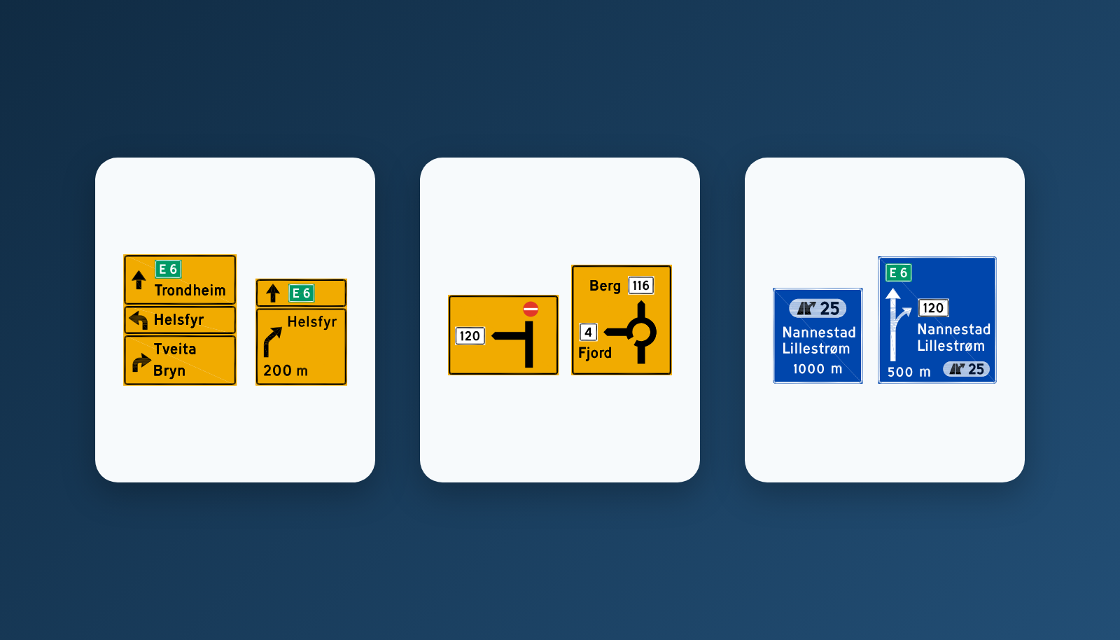
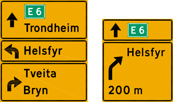
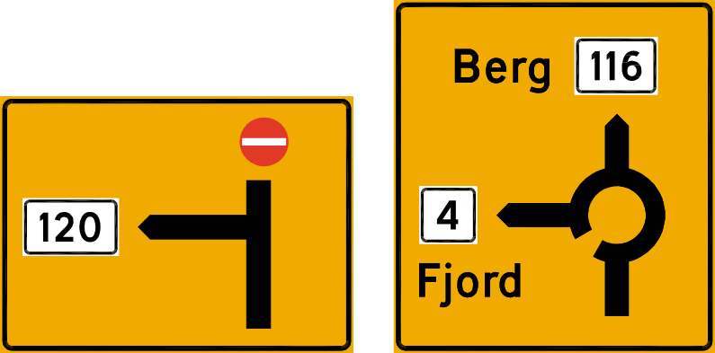
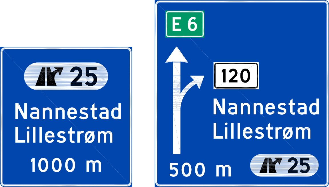
Vegvisningsskilt — Norwegian direction and route signs
32 signs — each with its official statutory code and name from skiltforskriften, English translation and clear plain explanation. The exact data powering the Teorix theory test trainer.
Updated: 2026-09-23
Official statutory definition — skiltforskriften § 15
«Vegvisningsskilt gir opplysninger om stedsnavn, virksomheter, vegruter, valg av kjørefelt, valg av veg og avstand til reisemål.»
Direction and route signs provide information on place names, enterprises, routes, lane choice, road choice, and distances to destinations. (unofficial translation)
This is the most text-heavy class: large destination boards, exit indicators, road numbers (E6, riksveg, fylkesveg), street name plates, distance signposts, detours, and cycling routes. The governing rule is § 15 of skiltforskriften, with specific signs listed in § 16.
Colour serves as a functional code. For signs 701–719 and 725, § 15 nr. 2 specifies: blue background with white lettering for geographic destinations on motorways (motorveg), yellow background with black lettering for geographic destinations on other roads, white background with black lettering for non-geographic destinations, and orange background with black lettering for temporary diversion routing. Additionally, destinations of particular interest to tourist traffic may have a brown background with white lettering.
Town name signs do not set speed limits. Sign 727 «Stedsnavnskilt» indicates a town, built-up area, administrative boundary, or landmark for orientation — nothing more. The 50 km/h general speed limit in built-up areas derives from vegtrafikkloven § 6, paragraph 2, and the decision on whether an area is classified as tettbygd strøk and where its borders lie normally rests with Statens vegvesen, after consultation with the police and municipality. For an area served only by municipal roads, the municipality decides after consultation with Statens vegvesen and the police (skiltforskriften § 26 nr. 2). Older signs 544 «Tettbygd strøk» and 546 «Slutt på tettbygd strøk» were abolished and became invalid on 1 January 2011.
Another frequently tested rule: direction signs do not use supplementary plates (underskilt) (§ 15 nr. 3). Instead, explanatory text, numerals, and symbols are integrated directly onto the sign face. When a standard traffic sign is depicted in miniature on a direction board, it indicates that the corresponding regulation applies on the road being directed to.
Entries in this study catalogue 32 in catalogue
701
Tabellorienteringstavle
Table advance direction sign
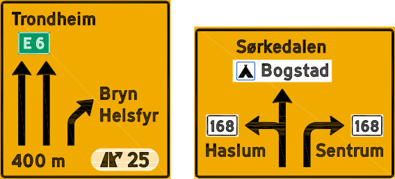
Table advance direction sign: the sign gives advance warning of a junction and lists road numbers and destinations in a table. Vegvisningsskilt give information about place names, businesses, road routes, choice of lane, choice of road and distance to destinations.
703
Diagramorienteringstavle
Diagram advance direction sign
Diagram advance direction sign: the sign gives advance warning of a junction and draws its shape as a diagram. Vegvisningsskilt give information about place names, businesses, road routes, choice of lane, choice of road and distance to destinations.
705
Avkjøringstavle
Exit advance sign
Exit advance sign: the sign gives advance warning of an exit road and shows where it leads. Vegvisningsskilt give information about place names, businesses, road routes, choice of lane, choice of road and distance to destinations.
707
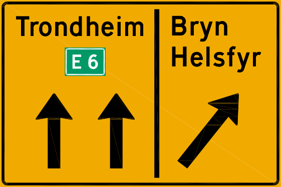
Kjørefeltorienteringstavle
Lane advance direction sign
Lane advance direction sign: the sign shows how many lanes run up to the junction and where each lane leads. Vegvisningsskilt give information about place names, businesses, road routes, choice of lane, choice of road and distance to destinations.
709
Portalorienteringstavle
Gantry advance direction sign
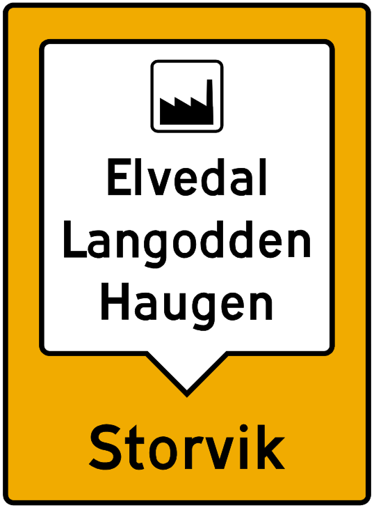
Gantry advance direction sign: the sign hangs over the carriageway and shows which direction or destination each lane is for. Vegvisningsskilt give information about place names, businesses, road routes, choice of lane, choice of road and distance to destinations.
711
Tabellvegviser
Table direction sign
Table direction sign: the sign stands at the junction and lists the destinations of each arm in a table. Vegvisningsskilt give information about place names, businesses, road routes, choice of lane, choice of road and distance to destinations.
713
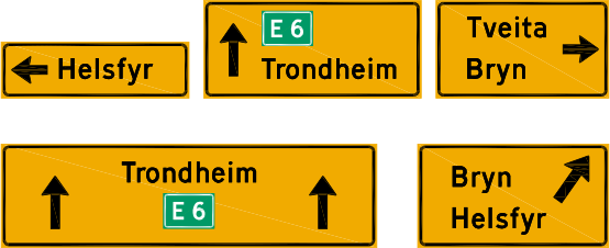
Vanlig vegviser
Ordinary direction sign
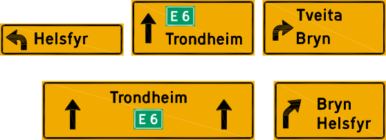
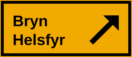
Ordinary direction sign: the sign is the ordinary arrow-shaped direction sign at the junction. Vegvisningsskilt give information about place names, businesses, road routes, choice of lane, choice of road and distance to destinations.
715
Avkjøringsvegviser
Exit direction sign
Exit direction sign: the sign stands at the exit itself and shows where the exit road leads. Vegvisningsskilt give information about place names, businesses, road routes, choice of lane, choice of road and distance to destinations.
717
Kjørefeltvegviser
Lane direction sign
Lane direction sign: the sign shows which destinations each lane is intended for. Vegvisningsskilt give information about place names, businesses, road routes, choice of lane, choice of road and distance to destinations.
719
Portalvegviser
Gantry direction sign
Gantry direction sign: the sign hangs over the carriageway at the junction and shows the destinations for each lane. Vegvisningsskilt give information about place names, businesses, road routes, choice of lane, choice of road and distance to destinations.
723.11
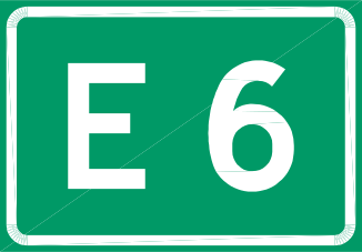
Vegnummer for europaveg
European route number
European route number: the sign shows the number of a European route, for example E6. Vegvisningsskilt give information about place names, businesses, road routes, choice of lane, choice of road and distance to destinations.
723.13
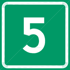
Vegnummer for riksveg som ikke er europaveg
National road number
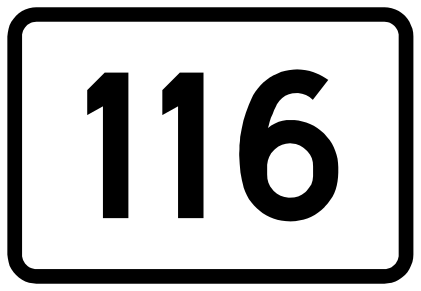
National road number: the sign shows the number of a national road that is not a European route. Vegvisningsskilt give information about place names, businesses, road routes, choice of lane, choice of road and distance to destinations.
723.15
Vegnummer for nummerert fylkesveg
County road number
County road number: the sign shows the number of a numbered county road. Vegvisningsskilt give information about place names, businesses, road routes, choice of lane, choice of road and distance to destinations.
723.21
Ringveg/ringrute
Ring road or ring route
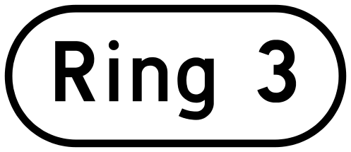
Ring road or ring route: the sign marks a ring road or ring route, for example Ring 3. Vegvisningsskilt give information about place names, businesses, road routes, choice of lane, choice of road and distance to destinations.
723.31
Nasjonal turistveg
National tourist route
National tourist route: the symbol shows that the road is a national tourist route. Vegvisningsskilt give information about place names, businesses, road routes, choice of lane, choice of road and distance to destinations.
723.41
Omkjøringsrute for store kjøretøy
Diversion route for large vehicles
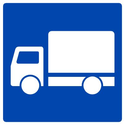
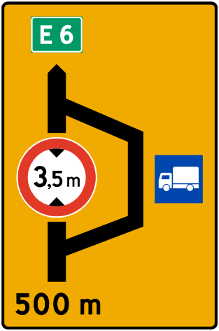
Diversion route for large vehicles: the sign shows the diversion route for large vehicles. Vegvisningsskilt give information about place names, businesses, road routes, choice of lane, choice of road and distance to destinations.
723.51
Rute for transport av farlig gods
Dangerous goods route
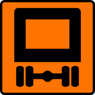
Dangerous goods route: the sign shows the route for the transport of dangerous goods. Vegvisningsskilt give information about place names, businesses, road routes, choice of lane, choice of road and distance to destinations.
723.61
Andre omkjøringsruter
Other diversion routes
Other diversion routes: the sign marks a diversion route other than those with their own symbols. Vegvisningsskilt give information about place names, businesses, road routes, choice of lane, choice of road and distance to destinations.
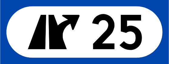
723.71
Kryssnummer på flerfeltsveg
Junction number on a multi-lane road
Junction number on a multi-lane road: the sign shows the number of the junction on a multi-lane road. Vegvisningsskilt give information about place names, businesses, road routes, choice of lane, choice of road and distance to destinations.
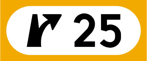
723.73
Kryssnummer på tofeltsveg
Junction number on a two-lane road
Junction number on a two-lane road: the sign shows the number of the junction on a two-lane road. Vegvisningsskilt give information about place names, businesses, road routes, choice of lane, choice of road and distance to destinations.
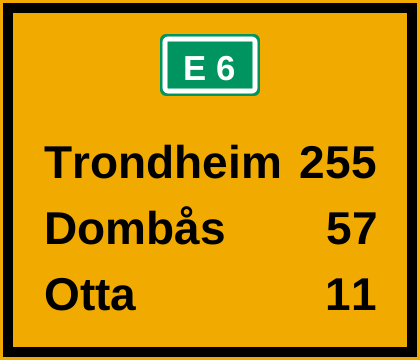
725
Avstandsskilt
Distance sign
Distance sign: the sign stands after the junction and shows how many kilometres remain to the destinations. Vegvisningsskilt give information about place names, businesses, road routes, choice of lane, choice of road and distance to destinations.
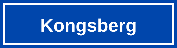
727
Stedsnavnskilt
Place-name sign
Place-name sign: the sign shows the name of the place you are entering, or an administrative boundary. Vegvisningsskilt give information about place names, businesses, road routes, choice of lane, choice of road and distance to destinations.
729
Gate-/vegnavnskilt
Street or road name sign
Street or road name sign: the sign shows the name of the street or road. Vegvisningsskilt give information about place names, businesses, road routes, choice of lane, choice of road and distance to destinations.
731
Samleskilt for vegvisning
Collective direction sign
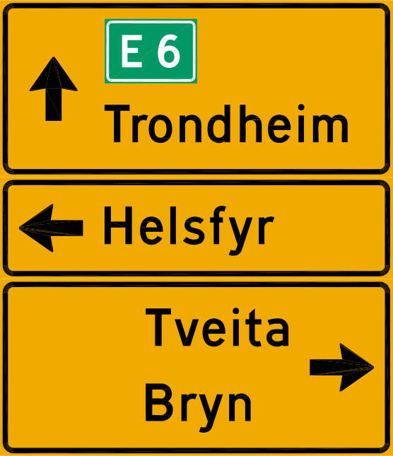
Collective direction sign: the sign gathers several destinations reached through one and the same choice of road ahead. Vegvisningsskilt give information about place names, businesses, road routes, choice of lane, choice of road and distance to destinations.
741
Omkjøring for bestemte kjøretøygrupper
Diversion for certain vehicle groups
Diversion for certain vehicle groups: the sign warns that the road is closed to certain vehicle groups, which must follow a diversion. Vegvisningsskilt give information about place names, businesses, road routes, choice of lane, choice of road and distance to destinations.
743
Midlertidig omkjøring
Temporary diversion
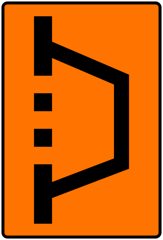
Temporary diversion: the sign warns that the road is temporarily closed and that through traffic must follow the diversion. Vegvisningsskilt give information about place names, businesses, road routes, choice of lane, choice of road and distance to destinations.
745
Slutt på midlertidig omkjøring
End of temporary diversion
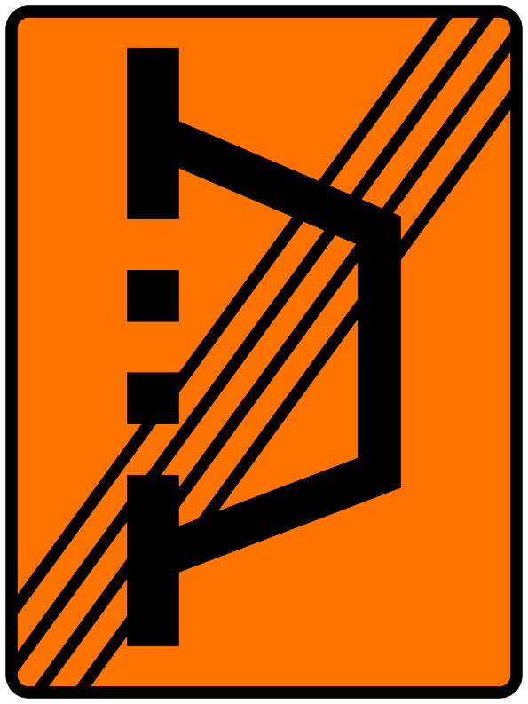
End of temporary diversion: the sign shows that the temporary diversion ends here. Vegvisningsskilt give information about place names, businesses, road routes, choice of lane, choice of road and distance to destinations.
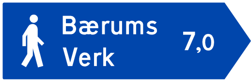
749
Vegviser for gangtrafikk
Pedestrian direction sign
Pedestrian direction sign: the sign shows the way for pedestrians and may carry the symbol for the mobility impaired. Vegvisningsskilt give information about place names, businesses, road routes, choice of lane, choice of road and distance to destinations.
751
Vegviser for sykkelrute
Cycle route direction sign
Cycle route direction sign: the sign is the arrow-shaped direction sign for a cycle route. Vegvisningsskilt give information about place names, businesses, road routes, choice of lane, choice of road and distance to destinations.
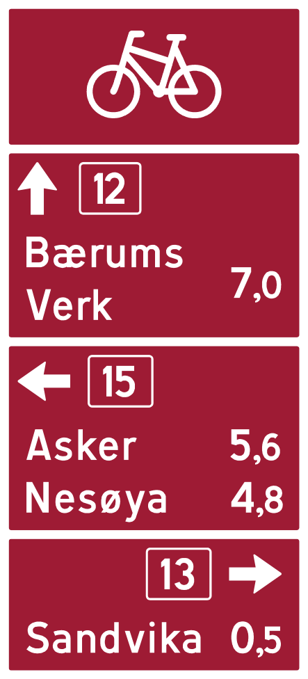
753
Tabellvegviser for sykkelrute
Table cycle route direction sign
Table cycle route direction sign: the sign lists several cycle route destinations in a table. Vegvisningsskilt give information about place names, businesses, road routes, choice of lane, choice of road and distance to destinations.
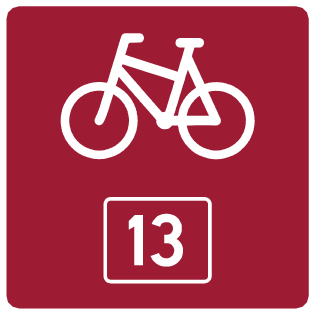
755
Sykkelruteskilt
Cycle route sign
Cycle route sign: the sign confirms that you are following a particular cycle route and shows its number. Vegvisningsskilt give information about place names, businesses, road routes, choice of lane, choice of road and distance to destinations.
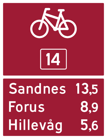
757
Avstandsskilt for sykkelrute
Cycle route distance sign
Cycle route distance sign: the sign shows the distance along the cycle route to the destinations. Vegvisningsskilt give information about place names, businesses, road routes, choice of lane, choice of road and distance to destinations.
Illustrations are official figures from skiltforskriften (Lovdata), vector artwork from Wikimedia Commons (public domain), and our own vector renderings based on official figures. Translations, explanations, and advice are our unofficial study aids; only the Norwegian statute text carries legal force.
FAQ
Does passing a town name sign automatically mean a 50 km/h limit?
Not in itself. Sign 727 indicates a town, settlement, or administrative border as a navigation landmark. The 50 km/h default limit in built-up areas stems from vegtrafikkloven § 6, and Statens vegvesen normally determines built-up boundaries after consultation with the police and municipality. Where the area is served only by municipal roads, the municipality decides after consulting Statens vegvesen and the police (§ 26 nr. 2). Always obey sign 362 «Fartsgrense» and adjust for the character of the roadway.
What does a brown direction sign signify?
Destinations of particular tourist or cultural interest. Under § 15 nr. 2, such signs use a brown background with white lettering. Symbol 723.31 specifically designates a National Tourist Route (Nasjonal turistveg).
What is the difference between yellow and blue direction signs?
The road category, not the destination itself. Under § 15 nr. 2 for geographic destinations: blue background with white lettering applies on motorways (motorveg), while yellow background with black lettering applies on all other public roads.
What does a miniature sign depicted inside a direction sign mean?
It indicates that the shown sign is installed on and governs the road being directed toward (§ 15 nr. 3). Direction signs do not have separate underskilt underneath them.
What are the maroon/reddish-brown signs with bicycles?
Signposted cycle routes: 751 «Vegviser for sykkelrute», 753, 755 «Sykkelruteskilt», and 757 «Avstandsskilt for sykkelrute». These are directional signposts rather than mandatory paths, showing the route direction and distances to cycling destinations.